Dr. Kelly Robinson, University of Louisiana at Lafayette (Lead)
Dr. James Nelson, University of Louisiana at Lafayette (Co-PI)
Dr. Guillaume Rieucau, Louisiana Universities Marine Consortium (Co-PI)
Recent studies have demonstrated the potential of using unmanned aerial vehicles (UAVs or “drones”)
equipped with high-resolution video cameras to provide density estimates of marine fauna with no or
limited disturbance. We propose to use the Louisiana gulf menhaden (Brevoortia
patronus) fishery as our model system to optimize this technology for commercial use. Menhaden form
large schools that are highly localized in coastal waters during the summer and fall, with over 90% of fish
caught within 10 miles from shore. Both the menhaden reduction (fishmeal and oil) and bait fishery are
concentrated in Louisiana coastal waters. Menhaden commercial fishing vessels use spotter
planes to detect and guide them to schools; however, these planes cover large areas (100s km2) and are
expensive to use. Fishing vessels are reliant on pilots’ reports and lack the ability to adaptively detect,
track and assess the size of fish schools that may be nearby but out of sight.
The goal of this project is to develop a novel tool for commercial menhaden fishermen to detect, track, and estimate the location and size of remote fish schools from their vessel in real-time.
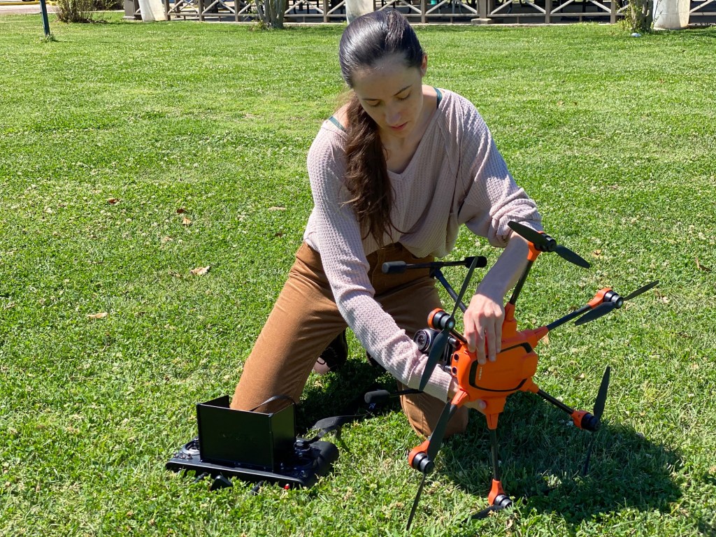
Olivia Floyd prepares octocopter for flight. 
Menhaden school in shallow water. 
Conceptual image process workflow
Funding provided by Louisiana Sea Grant
